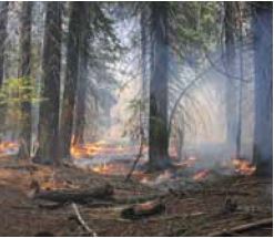
Study: Effects of post-fire salvage logging . . . . J. Wagenbrenner, et al.
Effects of post-fire salvage logging and a skid trail treatment on ground cover, soils, and sediment production in the interior western United States Joseph W. Wagenbrenner, Lee H. MacDonald, Robert N. Coats, Peter R. Robichaud, Robert E. Brown Published...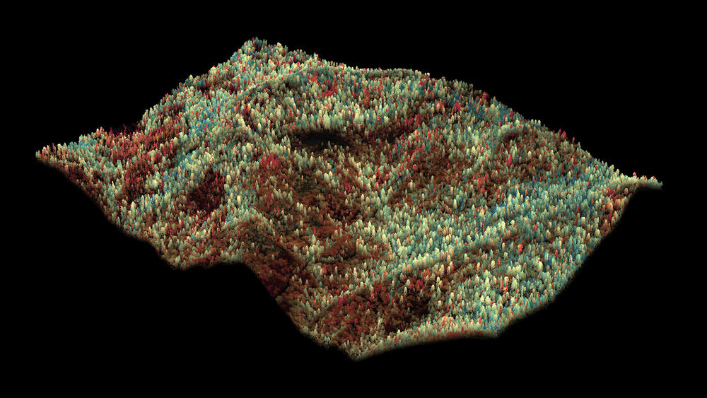
Progressive forest canopy water loss during the 2012–2015 California drought
Map showing Central Sierra Forest Drought Effects in 3D
Photo Credit LA Times Science Now article, “New maps show spread and impact of drought on California forests” 31 December 2015
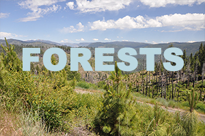
Natural Range of Variation of Red Fir Forest s in the Bioregional Assessment Area
Red fir forests are distributed throughout the Sierra Nevada immediately above the montane mixed-conifer and below the subalpine forest zones. This forest generally occurs in a 300 to 500 m elevation width that extends from approximately 1800-2400m in the northern...